The Kungsörsleden hiking trail
Kungsör, Västmanlands län
Categories
Hiking
Trail running
Near parking
Near Public Transport
Circular trail
Current
Access
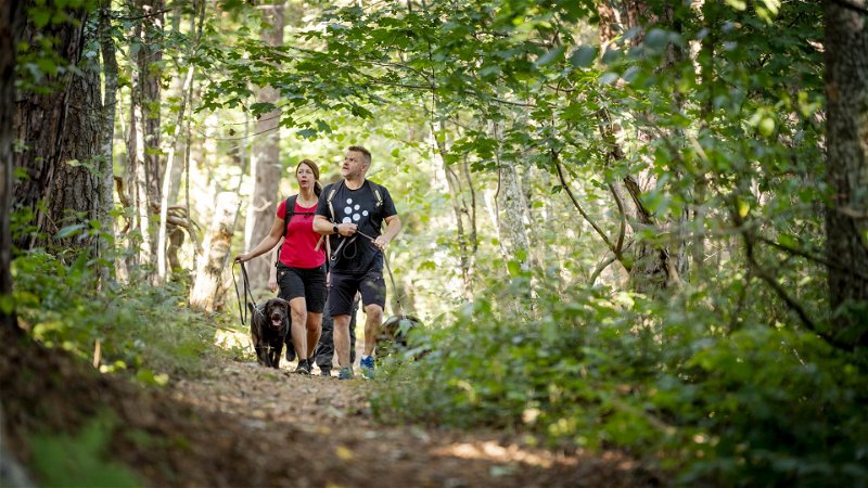
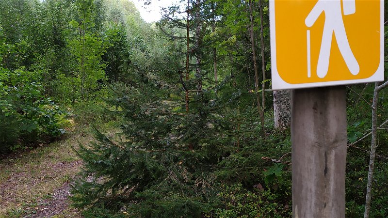
The hiking trail runs alternately on roads, gravel paths and
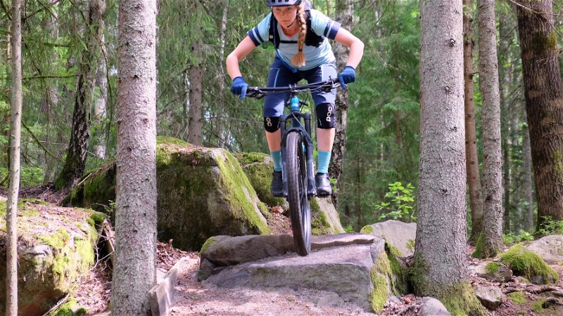
forest paths. Some but not all parts are suitable for biking or
for walking with a child in a stroller or pushchair, or for using
a wheelchair. The trail is maintained in the summer but not
in the winter.
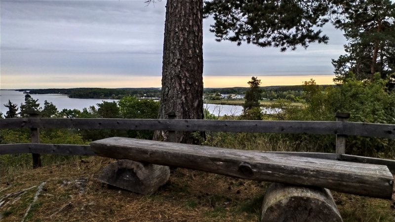
The Kungsörsleden hiking trail starts at
Kungsudden and stretches for 24 km through
a varied landscape. In the north, you will see
pastures and old deciduous forests as well as
traces of the time when Kungsör was a central
location for royal activities. In the southern
part of the trail, beyond the E20 motorway,
the landscape changes to highlands with
coniferous forests and even older remnants:
hill forts and graves from the Iron Age.
Facts
24 km long. Varied terrain. Partly gravel paths and partly root-filled forest paths. Predominantly flat terrain.
Directions
The trail passes just outside Kungsör bus and train station. The trail can be found on the other side of the tracks along the Arbogaån river. Book your trip here via www.vl.se or sj.se.
Parking
We recommend parking at Lockmora friluftsgård or at the railway station. You can also park at Jägaråsen nature reserve.
Charging station for electric cars is located in the parking lot behind the Thor Modéen theater in Kungsör.
Surface
Varied terrain. Partly gravel paths and partly root-filled forest paths. Predominantly flat terrain.


