07 Långsjön – Ramnäs, via Rövallskojan | Bruksleden
Surahammar, Västmanlands län
Categories
Hiking
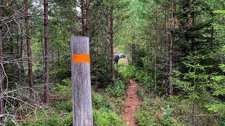
Stage 7 takes you through an exciting landscape characterized by bogs and wetlands. You pass Rövallsmossen and Stingsmossen nature reserves, among others. Except for the last bit towards Ramnäs, the trail runs only on forest trails, which are mostly easy to walk but some rocky parts also occur.
Both stages 7 and 8 start from the wind shelter at Långsjön. After following the edge of Långsjön for 1.5 km, the trail splits. Stage no. 8 turns left towards Surahammar while stage no. 7 goes right towards Toftsjön. Between the two lakes, you pass the disused peat extraction site at Toftmossen, where peat extraction stopped in 2002. From the peat bog, the trail goes along a large and wide path to the windbreak at Toftsjön.
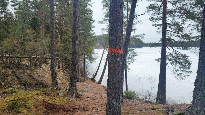
The hike continues northwest along the edge of the lake. The terrain here is a bit rocky and this makes it difficult if you want to pitch a tent, but some places can be found. After the lake, you pass a bog with an active peat extraction.
Before Orrmossen you enter an area with rocky outcrops and sparse pine forest. Here are many nice places for a coffee break. You pass the edge of Orrmossen and then arrive at Rövallskojan, a small cabin in a clearing in the forest. The cabin is open for those who want to take a break or stay overnight.
You are now in the Rövallsmossen and Stingsmossen nature reserve. The reserve has been created to protect the two large marsh and forest areas around it. Here you can find many plant species, especially those with a northern character. You walk on a ridge over moss-covered woodland between the two bogs.
Please note that cycling is not permitted in the nature reserve, except on existing forest roads.
On the other side of the reserve, the trail merges with stage no. 8 again. The last bit to Ramnäs you first go on a small forest road that starts out at road 66. On the way into the center you pass Ramnäs church, built before 1450. The church has a beautiful tower with an onion dome. Outside Ramnäs, just south of road 66, is Gniens nature reserve, which is one of Västmanland's most species-rich bird habitats.
RESTING PLACES
There is a shelter where the stage starts at Långsjön. The shelter is in a nice location overlooking the water and has room for 6-8 people. It is also possible to camp here.
The next shelter is 3.5 km later at Toftsjön. This shelter also has a nice location with lake views. Tent sites can be found around the shelter.
Just after Orrmossen is Rövallskojan, a small cabin that is open for those who want to rest or stay overnight. Inside the cabin there is a bunk bed and a stove. Outside there is plenty of space to camp.
HALLSTAHAMMAR
Hallstahammar municipality stretches from Lake Mälaren in the south to the foothills of Bergslagen in the north. Strömsholmsåsen, which is heavily affected by quarrying, runs through the municipality, and Kolbäcksån flows parallel to it. Inside the town there is a nature reserve around Sörkvarnsforsen, the only major natural foreland on the entire Kolbäcksån river, with beautiful hardwood forests and a rich flora.
Prehistoric finds from the area around Hallstahammar show that there was already a population here during the Stone Age. Access to the Kolbäcksån rapids made the site well suited to industry. In 1628, a copper hammer was built on the Kolbäcksån in Hallsta. It later developed into Hallstahammars Bruk AB. Today, Hallstahammar is a mill community with extensive engineering industry. The town has become known for names such as Hallstahammars Bruk, Bulten and Kanthal.
It is well worth taking a detour from Bruksleden and walking through Hallstahammar down to Kolbäcksån - Strömsholm's canal. In the 1770s, the canal company had more buildings erected at Skantzen in Hallstahammar in connection with the construction of the canal. Several of the buildings are still there today. In the green and lush Skantzen area, you can visit a canal museum that tells the history of Strömsholm Canal. Here you will find a working model of a lock, a tool museum and a small chapel.
STAY AND EAT
Go to the link below and read about where you can stay and eat in Hallstahammar.
Stay and eat Read more '
SHOP FOR FOOD
Grocery stores are located at Hammartorget in the middle of Hallstahammar, about 2 km from the fitness center.
OTHER
At Hallstahammar's exercise center there are exercise tracks 1.2 km, 3 km and 5 km that are illuminated. During the winter there are ski trails. The facility has changing rooms, showers and saunas for the public.
Right next to the Fitness Center is a ski slope with a drag lift. The slope is 170 m long and has a drop of 28 m. There is a warming hut and barbecue area.
READ MORE
Directions
The easiest way to get to Hallstahammar is by train. You take the train that runs on the Västerås - Ludvika line via Hallstahammar, Surahammar and Fagersta. The train station is located about 2.5 km from Hallstahammar's exercise center.
You can also get to Hallstahammar with Brukslinjen from Kvicksund - Kolbäck or Virsbo - Ramnäs, but most trips only run Monday-Friday.
You cannot get to the start at Vargberget by car or public transport.


