Current
This section is currently very difficult to navigate, mainly in two areas.
Due to spruce bark beetle, many trees have fallen over the path, mainly around Matkullen and near Örtjärnen. In some places, it requires a lot of the hiker to get past. In some cases you have to climb, or choose a longer detour. At Matkullen, we advise all hikers to choose the path that goes around Matkullen as the one that goes over is the worst attacked.
Near Harplekartorp, beaver dams have also made the path very wet in some places.
Along stage 20 you will pass the beautiful and exciting area around Matkullen. The route is quite hilly, especially around Matkullen. The second half is more easy going.
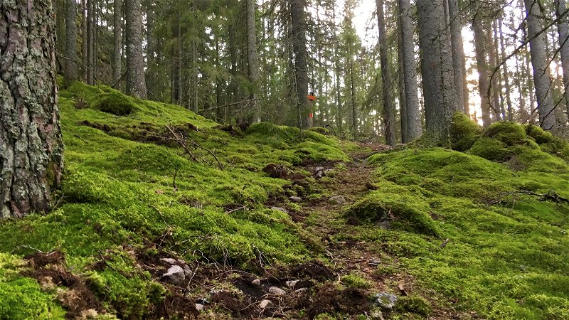
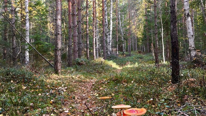
The stage starts at road 233 between Skinnskatteberg and Malingsbo. The first bit you walk through deciduous forest where a carpet of wood anemones and lilies of the valley cover the ground in spring. The terrain slopes upwards and eventually the forest changes character. You pass a picnic area with two shelters located a little off the path. After about 1.5 km you reach the edge of Matkullen Nature Reserve. Before the reserve, the path splits and you can walk a small loop. To follow Bruksleden, turn right. The top of Matkullen reaches about 210 m above sea level and once up you get a fantastic view of Baggådalen in the south.
On the other side of the mountain it slopes steeply downhill. From about 1 km after Matkullen and up to Örtjärnen, stage no. 20 has the same route as stage no. 19. The trail goes on a forest path down towards Getingtäkten. On the other side of the road follows a slightly more boring stretch along a gravel road that takes you up an approximately 2 km long hill lined with forest.
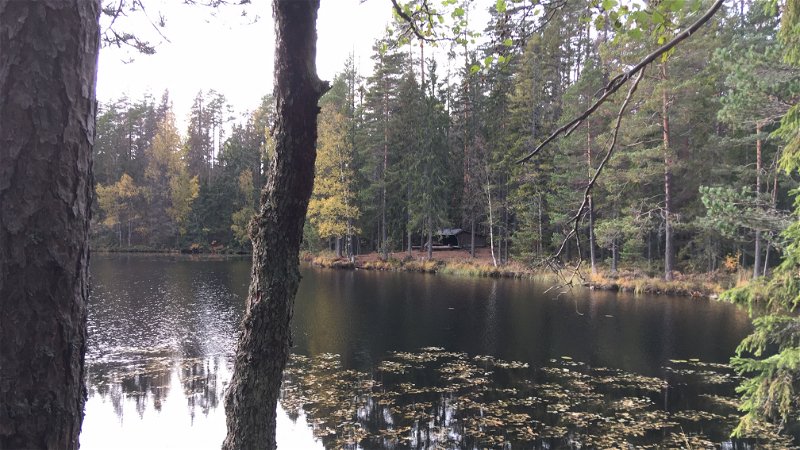
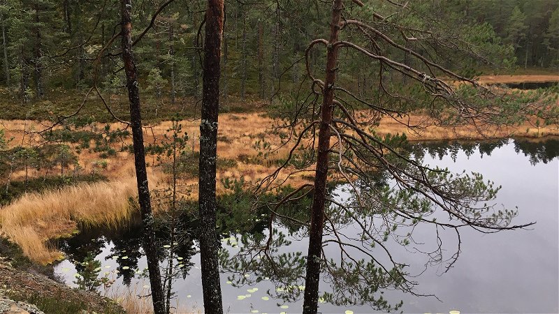
You will be rewarded when you reach the beautiful area around Lake Örtjärnen. Örtjärnen is an approximately four kilometer long and 50-150 m wide rift valley lake. The difference in level between the lake and the surroundings is about 50 m. When you cross the bridge, you cross the border between Västmanland and Dalarna. At Örtjärnen there are two campsites to choose from. The first is on the headland you come to just after the bridge. There are two shelters here. If you continue a few hundred meters more, you will arrive at the next shelter.
RESTING PLACES
About 1 km from the start on road 233 there is a rest area with two large shelters and a fireplace. You can't see the shelters from the trail but a sign shows the way.
At Örtjärnen there are two campsites. The first is on a headland that you reach after crossing the bridge from the south. There are two shelters with a fireplace. The place is beautiful and cozy and several tents fit around.
The next shelter is located after another few hundred meters and here is also the TC. This shelter is also beautifully located with the opening to the lake.
MATKULLENS NATURE RESERVE
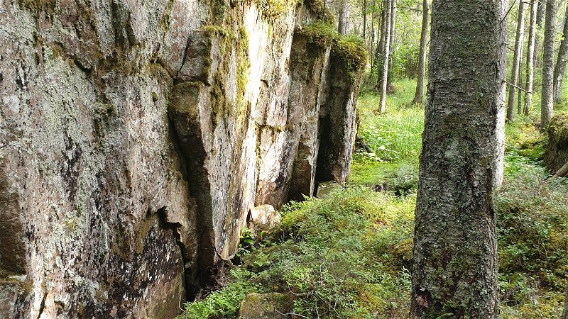
Matkullen is a forested hilltop made up of younger medium-grained granite. The purpose of the reserve is to protect the area's high biological values. The hill reaches 210 meters above sea level and from its top you have a beautiful view of Baggådalen. After the last ice sheet melted away, the sea in this area reached a maximum of about 178 meters higher than today. Baggådalen was then a bay and the top of Matkullen an island.
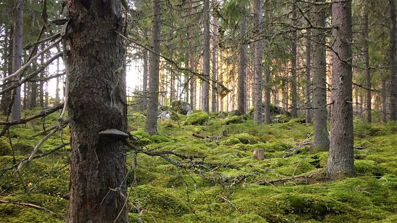
The mountain is covered with older mixed coniferous forest. Here, among other things, the rare pin yellow lichen has been found.
Remember that special regulations apply within the reserve (see the County Administrative Board website for more information).
Directions
You cannot get to this stage by public transport.
At road 233 where the stage starts, there is an information sign and you can park a couple of cars here.

