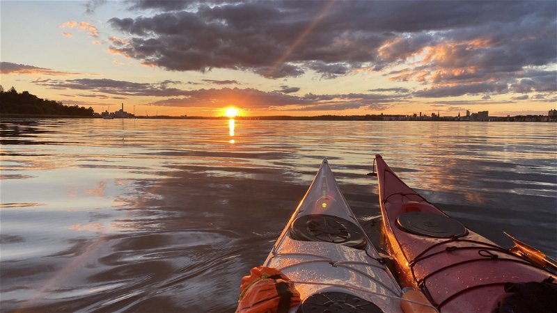
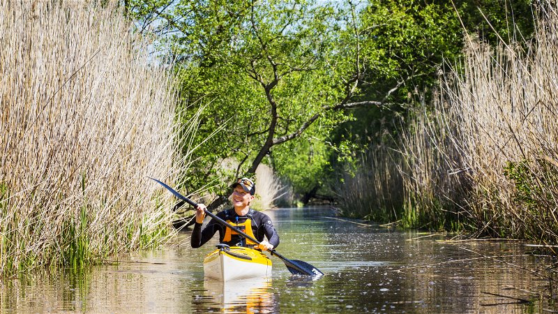
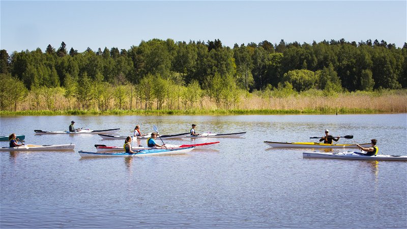
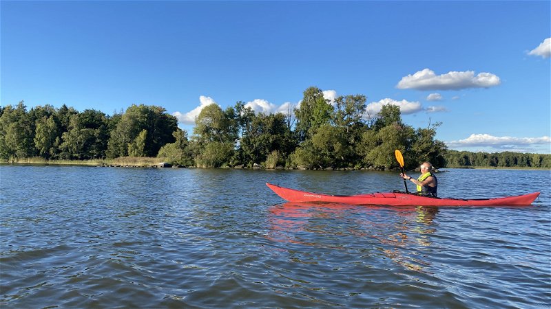
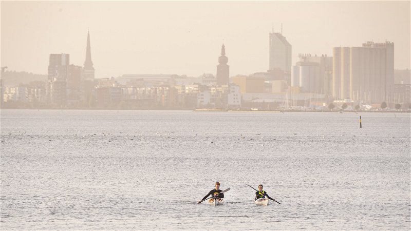
Paddle from Björnön to Östra holmen - the perfect beginner trip if you want to paddle from island to island.
If you start and end your trip at the launching jetty at Björnögården and paddle to and around Östra holmen, you have a trip of about 6 km. The route is marked as Blue (medium), but the level of difficulty is obviously dependent on the prevailing weather conditions. In particular, wind and low temperatures are risk factors to consider. In good weather conditions, the tour can be considered a beginner's tour, but it is necessary to be comfortable traveling among boat traffic and open water.
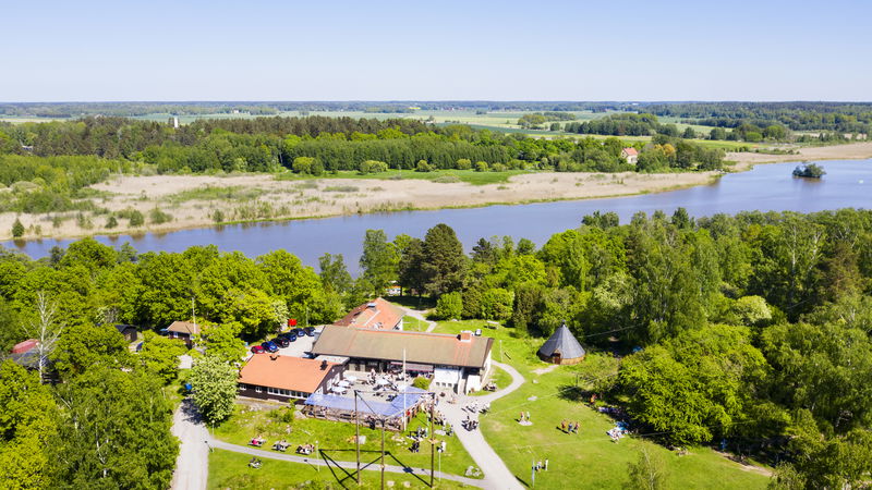
The final destination Östra holmen is a true gem. Here you will find several lovely beaches where you can go ashore, barbecue areas, nice hiking trails, a lovely café and toilet. A real summer paradise in other words.
If you want to extend your trip, it is excellent to paddle on to the islands west of Östra Holmen. Directly west of Östra Holmen you will find Elba which has a nice bathing place where you can go ashore, hiking trails and a summer open restaurant. West of Elba you will find Västra holmen. Here you will not find a restaurant but a nice nature trail and a small boat dock where you can go ashore.
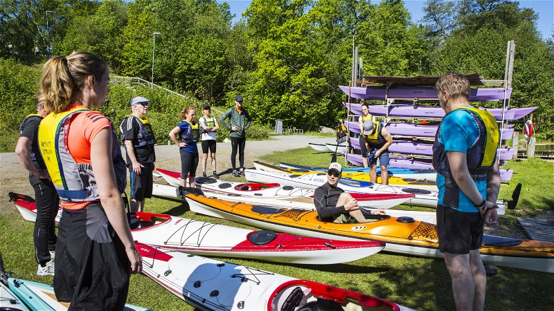
If you need to rent a canoe for your adventure, or buy a map, you can do so via Aktivt Uteliv på Björnögården. Aktivt Uteliv also offers canoeing courses and guided day trips.
If you start your tour at Björnögården, don't miss the famous Wåffelbaren which serves waffles for both lunch and dessert.
For more things to do in Västerås visit the website of Visit Västerås
Communications
From Västerås station you can easily get to Björnön by bus line 2. You can find the timetable at vl.se
Parking
At Björnön there are several parking lots you can use, including Parkeringen vid Björnögården.

